Euregional GIS Viewer
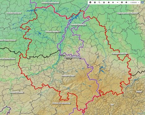
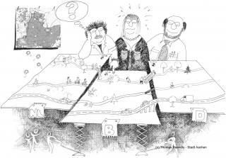
Merging geodata from 3 countries and 4 regions. The spatial structure of the Euregio – a jigsaw puzzle.
In the GIS Viewer project, a group of people from regional geoservices are working to bring together diverse geographical data on a Euregional basis. To this end, the land registry of CitiesRegion Aachen has set up a viewer on its geoportal, where various data sets can be viewed as maps: for example, the administrative organization of the Euregio, the water system, land use and green infrastructure with Natura 2000 areas and the analysed zones from the Space for Green Infrastructure project.
It is a work in progress. Although the European Directive INSPIRE sets standards, not all data is centrally accessible. In some cases, it must be requested from the relevant authorities and worked up to provide a uniform Euregional picture. At present it is not possible to pass on this integrated data to third parties. The partners use different release and licensing processes. A manual is in working with instructions for using the GIS Viewer, as well as information on the geoportals and processes of the partner regions.


Duration: seit 2016
Lead: Three-Countries
Park
Working group:
- Kataster- und Vermessungsamt, StädteRegion Aachen (D, Umsetzung)
- Cluster Organisatie en Informatie, Provincie Limburg (NL)
- Agentschap Informatie Vlaanderen (B)
- Service public de Wallonie, Sécretariat Géneral, Département de la Géomatique, Direction de l’Intégration des Géodonnées (B)
Link: to GIS Viewer
Download: manual
(in working)


