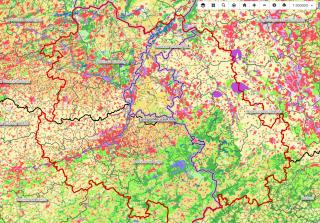
Maps & geodata
Sustainable landscape development thrives on good local knowledge. This is where the knowledge of the many people involved can help, along with map materials and geographical data. In a border region this is always a challenge, because maps and data in the various countries are generally still based on different standards. In various projects, therefore, we first work on comparable data and then match the data at the borders.

Geoportal of partner regions
North Rhine-Westphalia https://www.geoportal.nrw/
CityRegion of Aachen https://geoportal.staedteregion-aachen.de
Wallonia http://geoportail.wallonie.be
Flanders http://www.geopunt.be/
Province of Limburg B https://geo.limburg.be/
Province of Limburg NL https://www.limburg.nl/